
Galway is on weather alert today, as a frosty, bright Monday morning gives way to heavy rain and strong, gusty winds sweeping in from the Atlantic this afternoon.
Met Éireann has issued a Status Yellow wind and rain warning for Galway, Mayo and Sligo, in force from 3pm today (Monday 16 November) until 4am on Tuesday. It is one of four yellow warnings now covering seven counties along the south, west and north-west.
The forecaster says spells of heavy rain and strong, gusty southeast winds could bring difficult driving and cycling conditions, localised flooding, and debris and loose objects blown about.
It is a sharp turn from the weekend. In our Saturday report on the gale off Slyne Head, the warnings were for the sea only, with nothing in force on land. Tonight, Galway is in the warning zone.
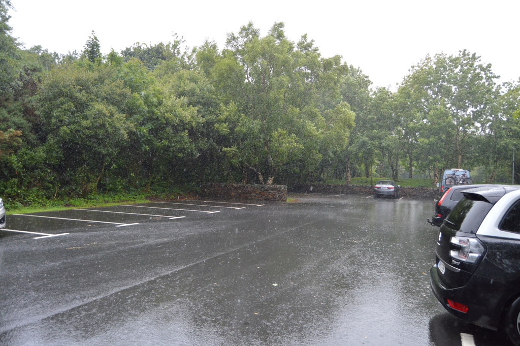
Galway weather warning: the times you need to know
Here are all four warnings in force today, according to Met Éireann’s warnings page:
- Galway, Mayo, Sligo: Status Yellow wind and rain, 3pm Monday to 4am Tuesday. Heavy rain and strong, gusty southeast winds.
- Cork, Waterford: Status Yellow wind and rain, 1pm to 11.59pm Monday. Poor visibility also flagged.
- Kerry: Status Yellow rain and wind, 1pm to 11.59pm Monday.
- Donegal: Status Yellow wind and rain, 7pm Monday to 4am Tuesday. Very strong, gusty winds, heavy driving rain, and sleet or snow on hills for a time.
The Galway, Mayo and Sligo warning was issued at 9.30pm on Sunday. Donegal was added at 6.46am this morning, bringing the total to seven counties, RTÉ News reported.
What to expect in Connemara today and tonight
Met Éireann’s Connacht forecast says today started cold, frosty and dry with sunny spells. That changes this afternoon, when cloud and rain push in from the southwest along with strong to near gale force, gusty southeasterly winds. Highs will only reach 3 to 6 degrees.
This evening will be wet and rather windy, with widespread rain and a fresh to strong southeasterly wind. The forecaster says sleet is possible for a time on high ground, worth bearing in mind if you are heading over the Maam Cross or Inagh Valley roads tonight.
The rain will clear northeastwards overnight, leaving clear spells, scattered showers and lighter winds. Lows will be 3 to 6 degrees.
Gale warning at sea: the whole west coast affected
Anyone with a boat on the water should take note. A Status Yellow marine gale warning is in force from 11am until midnight today, with southeasterly winds reaching gale force 8 or strong gale force 9 on coasts from Wicklow Head to Valentia to Fair Head, and on the Irish Sea south of Anglesey. That stretch runs around the south and west coasts, taking in Galway Bay and the Connemara coastline.
A small craft warning also covers all Irish coasts from 7am to midnight, with southeast winds veering southwest to west and reaching force 6 or higher.
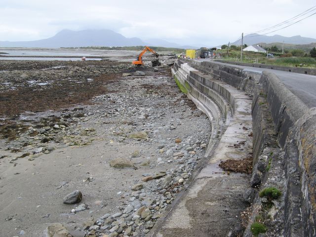
From minus three to gales in 24 hours
The warnings follow a bitterly cold Sunday night. Met Éireann had forecast lows of minus 3 to plus 1 degrees, with widespread frost and icy stretches, RTÉ reported on Sunday.
That means some roads may still be greasy where frost was slow to lift this morning, just as the rain arrives. Nationally, the forecaster says rain will spread over Munster, Connacht and much of Leinster through the afternoon, with highs of 4 to 7 degrees and milder air in the southwest.
Driving tonight? Advice from the RSA
The Road Safety Authority has not issued a specific alert for today’s warnings at the time of writing. But its standing advice in severe-weather alerts applies:
- Slow down and leave a bigger gap to the car in front in wet weather, especially on faster roads where aquaplaning is a risk.
- Hold back from lorries and buses, which throw up spray that cuts visibility.
- If a road ahead is flooded, find another route. Do not drive through it. Flood water can be deeper than it looks, and the verge may have given way.
- Obey road closure signs put up by the council or Gardaí.
Causeway roads in south Connemara, such as the R374 out to Leitir Móir and Leitir Mealláin, and low-lying coast roads, are worth extra care when heavy rain meets strong onshore winds.
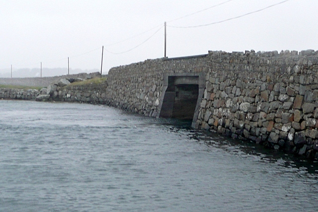
Power cuts and fallen trees
Strong, gusty winds can bring down branches and lines. If the lights go out, you can check for reported faults and estimated repair times on ESB Networks PowerCheck. Never approach a fallen line; report it to ESB Networks straight away. Our guide to winter power alerts has more on what to keep at home.
What happens next: showers, then a drier end to the week
The warning lifts at 4am on Tuesday, but it will stay unsettled for a few days, according to Met Éireann’s outlook:
- Tuesday: Scattered showers and sunny spells, some heavy or prolonged later. Much milder, with highs of 9 to 12 degrees in Connacht.
- Wednesday: Showers in many areas, some heavy, with highs of 7 to 11 degrees.
- Thursday: Mostly cloudy with outbreaks of rain in parts. Frost possible in the north overnight.
- Friday: Mostly dry with sunny spells and light winds.
- Saturday: Milder and breezier, still mostly dry, but rain likely later in the west.
No storm has been named for this spell. Storms are generally named when orange or red warnings are expected, and today’s are yellow. For the names still to come this season, see our full storm names list.
For the latest, keep an eye on met.ie, and check back with Connemara Journal for updates from around Galway and Connemara.
Sources: Met Éireann warnings; Met Éireann Connacht forecast; RTÉ News; Road Safety Authority.
Image credits: N Chadwick, Graham Horn and Jonathan Wilkins via Wikimedia Commons (geograph.org.uk), all CC BY-SA 2.0. All are file photos and were not taken today.